|
0 members (),
483
guests, and
27
robots. |
|
Key:
Admin,
Global Mod,
Mod
|
|
S |
M |
T |
W |
T |
F |
S |
|
|
1
|
2
|
3
|
4
|
5
|
6
|
|
7
|
8
|
9
|
10
|
11
|
12
|
13
|
|
14
|
15
|
16
|
17
|
18
|
19
|
20
|
|
21
|
22
|
23
|
24
|
25
|
26
|
27
|
|
28
|
29
|
30
|
|
|
|
|
|
There are no members with birthdays on this day. |

#717069
Wed 27 Mar 2024 07:41:PM
|
Joined: Feb 2001
Posts: 381,903
Launch Director
|
OP

Launch Director
Joined: Feb 2001
Posts: 381,903 |
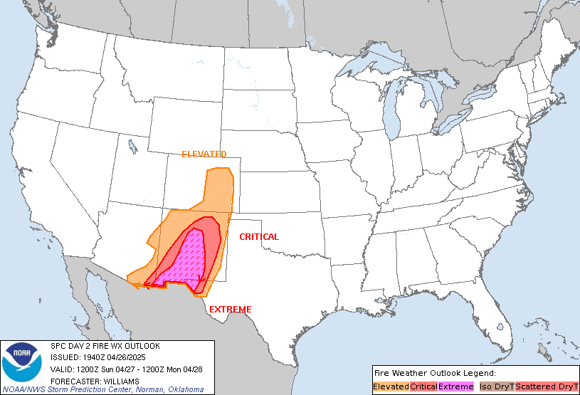
SPC Day 2 Fire Weather OutlookSPC Day 2 Fire Weather Outlook 
Day 2 Fire Weather Outlook
NWS Storm Prediction Center Norman OK
0239 PM CDT Wed Mar 27 2024

Valid 281200Z - 291200Z

...20z Update...
Despite recent light precipitation including snow, rapidly warming
temperatures and a switch to southerly winds should support drying
across much of the southern High Plains Thursday. Widespread
elevated fire-weather conditions appear likely with sustained
surface winds of 20-25 mph and relative humidity of 15-20%.
Localized critical conditions may also develop across parts of the
western TX Panhandle where winds could gust closer to 30 mph with RH
below 15% briefly. See previous discussion for additional
information. Trimmed the eastern edge of the Elevated area away from
heavier precipitation.

..Lyons.. 03/27/2024

.PREV DISCUSSION... /ISSUED 0150 AM CDT Wed Mar 27 2024/

...Synopsis...
A mid-level trough will approach the Rocky Mountains tomorrow
(Thursday), with surface lee troughing and associated dry downslope
flow anticipated across portions of the southern High Plains. For
the afternoon hours, the latest guidance consensus depicts 15+ mph
sustained south-southwesterly winds coinciding with 15-20 percent RH
across eastern New Mexico into western Texas. With fuels being
marginally receptive to wildfire spread, Elevated highlights have
been introduced.

...Please see www.spc.noaa.gov/fire for graphic product...
Read morehttps://www.spc.noaa.gov/products/fire_wx/fwdy2.html
|
|


CMS The Best Conveyancing solicitors conveyancing quotes throughout the UK
For any webhosting enquiries please email webmaster@aus-city.com
|
|
Forums60
Topics684,476
Posts719,086
Members2,957
| |
Most Online3,142
Jan 16th, 2023
|
|
|