|
|
|
0 members (),
609
guests, and
30
robots. |
|
Key:
Admin,
Global Mod,
Mod
|
|
S |
M |
T |
W |
T |
F |
S |
|
|
1
|
2
|
3
|
4
|
5
|
6
|
|
7
|
8
|
9
|
10
|
11
|
12
|
13
|
|
14
|
15
|
16
|
17
|
18
|
19
|
20
|
|
21
|
22
|
23
|
24
|
25
|
26
|
27
|
|
28
|
29
|
30
|
|
|
|
|
|
There are no members with birthdays on this day. |

#664779
Wed 17 Jul 2019 03:26:PM
|
Joined: Feb 2001
Posts: 381,903
Launch Director
|
OP

Launch Director
Joined: Feb 2001
Posts: 381,903 |
Assessing Barry's Damage to Coastal Communities from the Air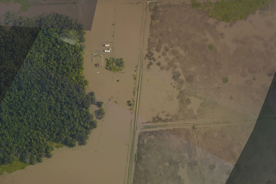
Aerial images from the National Geodetic Survey are available for viewing and download as flights continue along the Gulf of Mexico coast in the aftermath of Hurricane Barry. Continue reading → https://oceanservice.noaa.gov/news/july19/barry-imagery.html
|
|


CMS The Best Conveyancing solicitors conveyancing quotes throughout the UK
For any webhosting enquiries please email webmaster@aus-city.com
|
|
Forums60
Topics684,551
Posts719,161
Members2,957
| |
Most Online3,142
Jan 16th, 2023
|
|
|
|
|
Copyright 1996 - 2023 by David Cottle. Designed by David Bate Jr. All Rights Reserved.
By using this forum, the user agrees not to transfer any data or technical information received under the agreement, to any other entity without the express approval of the AUS-CITY Forum Admins and/or authors of individual posts (Forum Admins and DoD/USSPACECOM for the analysis of satellite tracking data).
Two-line elements (TLE) and all other satellite data presented and distributed via this forum and e-mail lists of AUS-CITY are distributed with permission from DoD/USSTRATCOM.

Reprise Hosting

|

|


 - Click image for larger picture.")


