|
0 members (),
858
guests, and
27
robots. |
|
Key:
Admin,
Global Mod,
Mod
|
|
S |
M |
T |
W |
T |
F |
S |
|
|
1
|
2
|
3
|
4
|
5
|
6
|
|
7
|
8
|
9
|
10
|
11
|
12
|
13
|
|
14
|
15
|
16
|
17
|
18
|
19
|
20
|
|
21
|
22
|
23
|
24
|
25
|
26
|
27
|
|
28
|
29
|
30
|
|
|
|
|
|
There are no members with birthdays on this day. |

#719043
Sat 13 Apr 2024 08:47:PM
|
Joined: Feb 2001
Posts: 381,903
Launch Director
|
OP

Launch Director
Joined: Feb 2001
Posts: 381,903 |
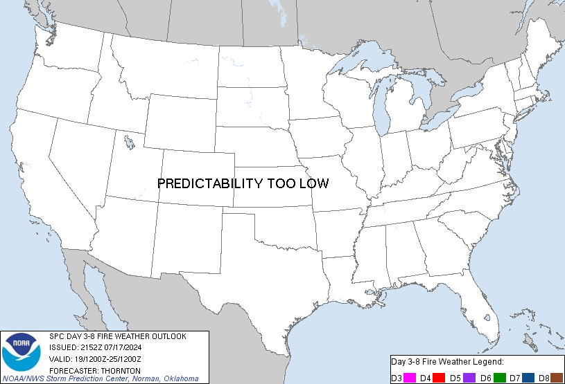
SPC Day 3-8 Fire Weather OutlookSPC Day 3-8 Fire Weather Outlook 
Day 3-8 Fire Weather Outlook
NWS Storm Prediction Center Norman OK
0342 PM CDT Sat Apr 13 2024

Valid 151200Z - 211200Z

A potent upper-level trough will enter the Four Corners region and
eject into the southern Plains on Monday. This feature will be the
primary driver of fire weather concerns in the coming days. As this
trough lifts into the Midwest/Great Lakes Tuesday into Wednesday, it
is forecast to weaken while another upper-level trough moves through
the northern Plains and eventually the Great Lakes region by the
weekend. Models have general agreement that flow aloft will become
more zonal through the week. At the surface, a deep lee cyclone
along the CO/KS border will develop Monday afternoon, lifting
northeastward with time along with its parent upper trough. Another
weaker lee cyclone may develop in the southern High Plains around
midweek. As the next trough moves eastward, a cold front is expected
to push into parts of the southern Plains late next week.

...Central/Southern High Plains...
The deep lee cyclone and strong upper-level winds will combine to
produce widespread elevated to critical fire weather across parts of
New Mexico into West Texas and the central High Plains vicinity on
Monday. Critical fire weather appears most likely along and east of
the central/southern Rockies. While some of these areas have
somewhat marginal fuel receptiveness, the potential for locally
extremely critical conditions should act to compensate. RH could
broadly fall to near 10% with winds of 20-35 mph (gusts of 40-50
mph). The eastern extent of the risk, particularly for parts of the
Texas Panhandle/South Plain, will be determined by how much fuels
have dried since the last round of precipitation a few days ago.

Fire weather concerns are expected to continue into Tuesday behind
the Pacific front for parts of southeastern New Mexico and West
Texas. Depending on where precipitation occurs on Monday, some
eastward expansion of probabilities could occur as similarly
dry/windy conditions are possible into the Rolling Plains/Hill
Country.

For Wednesday, uncertainty remains as to the degree of fire weather
risk. Given the more zonal upper-level pattern, fire weather risk
should be much more spatially restricted. Models have shown
increased agreement in a modest lee cyclone developing in the
southern High Plains. While some elevated fire weather could occur
in northeast New Mexico into southeast Colorado, critical fire
weather potential is too low for highlights.

..Wendt.. 04/13/2024

...Please see www.spc.noaa.gov/fire for graphic product...
Read morehttps://www.spc.noaa.gov/products/exper/fire_wx/
|
|


CMS The Best Conveyancing solicitors conveyancing quotes throughout the UK
For any webhosting enquiries please email webmaster@aus-city.com
|
|
Forums60
Topics684,607
Posts719,217
Members2,957
| |
Most Online3,142
Jan 16th, 2023
|
|
|