|
|
|
0 members (),
951
guests, and
26
robots. |
|
Key:
Admin,
Global Mod,
Mod
|
|
S |
M |
T |
W |
T |
F |
S |
|
|
1
|
2
|
3
|
4
|
5
|
6
|
|
7
|
8
|
9
|
10
|
11
|
12
|
13
|
|
14
|
15
|
16
|
17
|
18
|
19
|
20
|
|
21
|
22
|
23
|
24
|
25
|
26
|
27
|
|
28
|
29
|
30
|
|
|
|
|
|
There are no members with birthdays on this day. |

#719350
Mon 15 Apr 2024 11:03:PM
|
Joined: Feb 2001
Posts: 381,903
Launch Director
|
OP

Launch Director
Joined: Feb 2001
Posts: 381,903 |
SPC Severe Thunderstorm Watch 109WW 109 SEVERE TSTM DC DE MD VA WV CW 151750Z - 160200Z 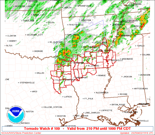
URGENT - IMMEDIATE BROADCAST REQUESTED
Severe Thunderstorm Watch Number 109
NWS Storm Prediction Center Norman OK
150 PM EDT Mon Apr 15 2024

The NWS Storm Prediction Center has issued a

* Severe Thunderstorm Watch for portions of
  District Of Columbia
  Southern Delaware
  Central and Eastern Maryland
  Virginia
  Central and Eastern West Virginia
  Coastal Waters

* Effective this Monday afternoon and evening from 150 PM until
  1000 PM EDT.

* Primary threats include...
  Scattered damaging wind gusts to 70 mph likely
  Scattered large hail and isolated very large hail events to 2
    inches in diameter possible

SUMMARY...Broken bands of strong to severe thunderstorms are
forecast to develop this afternoon and move east-southeast through
the mid evening.  Scattered severe gusts capable of wind damage will
be possible with the stronger cores and outflow winds.  Large hail
may accompany the early cellular storm activity.

The severe thunderstorm watch area is approximately along and 90
statute miles north and south of a line from 20 miles west northwest
of Beckley WV to 30 miles east southeast of Wallops VA. For a
complete depiction of the watch see the associated watch outline
update (WOUS64 KWNS WOU9).

PRECAUTIONARY/PREPAREDNESS ACTIONS...

REMEMBER...A Severe Thunderstorm Watch means conditions are
favorable for severe thunderstorms in and close to the watch area.
Persons in these areas should be on the lookout for threatening
weather conditions and listen for later statements and possible
warnings. Severe thunderstorms can and occasionally do produce
tornadoes.

&&

AVIATION...A few severe thunderstorms with hail surface and aloft to
2 inches. Extreme turbulence and surface wind gusts to 60 knots. A
few cumulonimbi with maximum tops to 500. Mean storm motion vector
29035.

...Smith
Read morehttps://www.spc.noaa.gov/products/watch/ww0109.html
|
|


CMS The Best Conveyancing solicitors conveyancing quotes throughout the UK
For any webhosting enquiries please email webmaster@aus-city.com
|
|
Forums60
Topics684,607
Posts719,217
Members2,957
| |
Most Online3,142
Jan 16th, 2023
|
|
|
|
|
Copyright 1996 - 2023 by David Cottle. Designed by David Bate Jr. All Rights Reserved.
By using this forum, the user agrees not to transfer any data or technical information received under the agreement, to any other entity without the express approval of the AUS-CITY Forum Admins and/or authors of individual posts (Forum Admins and DoD/USSPACECOM for the analysis of satellite tracking data).
Two-line elements (TLE) and all other satellite data presented and distributed via this forum and e-mail lists of AUS-CITY are distributed with permission from DoD/USSTRATCOM.

Reprise Hosting

|

|


 - Click image for larger picture.")


