|
|
|
0 members (),
919
guests, and
23
robots. |
|
Key:
Admin,
Global Mod,
Mod
|
|
S |
M |
T |
W |
T |
F |
S |
|
|
1
|
2
|
3
|
4
|
5
|
6
|
|
7
|
8
|
9
|
10
|
11
|
12
|
13
|
|
14
|
15
|
16
|
17
|
18
|
19
|
20
|
|
21
|
22
|
23
|
24
|
25
|
26
|
27
|
|
28
|
29
|
30
|
|
|
|
|
|
There are no members with birthdays on this day. |

#719358
Mon 15 Apr 2024 08:49:PM
|
Joined: Feb 2001
Posts: 381,903
Launch Director
|
OP

Launch Director
Joined: Feb 2001
Posts: 381,903 |
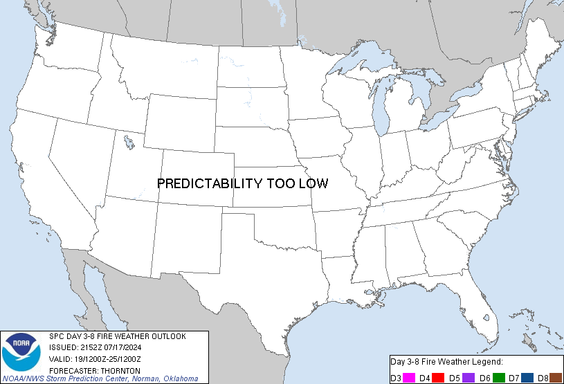
SPC Day 3-8 Fire Weather OutlookSPC Day 3-8 Fire Weather Outlook 
Day 3-8 Fire Weather Outlook
NWS Storm Prediction Center Norman OK
0344 PM CDT Mon Apr 15 2024

Valid 171200Z - 231200Z

A shortwave trough lifting into the Great Lakes region mid to late
this week will continue to weaken while another shortwave will pivot
through the northern Rockies into the northern Plains by late in the
week. The secondary trough is forecast to intensify across the Great
Lakes into the Northeast during the weekend. Across the southern
tier of the U.S., flow aloft will remain relatively zonal through
the period. At the surface, a weak lee cyclone is expected to
develop in southeast Colorado on Wednesday. As this moves eastward
along with the upper trough to the north, cooler air will filter
into the southern Plains. A secondary surge of cooler air will push
into the northern Gulf during the weekend.

...Southern High Plains...
Elevated to perhaps locally critical conditions appear possible as
the southeastern Colorado low develops on Wednesday afternoon. Winds
of 15-20 mph will overlap very low RH of around 10-15%. Fire weather
concerns will be somewhat localized near the terrain to the
southwest of the surface low.

...Western/Central New Mexico...
As the back door cold front pushes against the southern Rockies late
this week into the weekend, generally dry conditions are expected
across the Southwest. As fuels are continuing to dry within New
Mexico, it is possible some fire weather risk will exist for central
and western parts of the state. This would most likely occur on
Saturday when a low-amplitude trough approaches from the west. Model
and fuel trends will continue to be monitored.

..Wendt.. 04/15/2024

...Please see www.spc.noaa.gov/fire for graphic product...
Read morehttps://www.spc.noaa.gov/products/exper/fire_wx/
|
|


CMS The Best Conveyancing solicitors conveyancing quotes throughout the UK
For any webhosting enquiries please email webmaster@aus-city.com
|
|
Forums60
Topics684,607
Posts719,217
Members2,957
| |
Most Online3,142
Jan 16th, 2023
|
|
|
|
|
Copyright 1996 - 2023 by David Cottle. Designed by David Bate Jr. All Rights Reserved.
By using this forum, the user agrees not to transfer any data or technical information received under the agreement, to any other entity without the express approval of the AUS-CITY Forum Admins and/or authors of individual posts (Forum Admins and DoD/USSPACECOM for the analysis of satellite tracking data).
Two-line elements (TLE) and all other satellite data presented and distributed via this forum and e-mail lists of AUS-CITY are distributed with permission from DoD/USSTRATCOM.


Reprise Hosting


|

|